Submitter: ICRISAT
Quantifying landscape resources is fundamental to developing effective Natural Resource Management (NRM) strategies. With rising food demands and population pressures, the available resources are declining. In this regard, integrating land resource inventories with hydrological assessments becomes crucial for optimizing resources. Adopting water-budget-based approaches, rooted in agro-ecological principles, enables a more precise evaluation of both resource availability and demand. This integrated approach supports sustainable crop intensification by balancing productivity with long-term ecological sustainability and embracing a holistic, systems-based perspective.
It involves integrating land resource inventory and hydrology for comprehensive resource quantification and demand assessment. This will help us to understand the demand-supply gap of available resources. A robust, location-specific methodological framework is deployed to capture hydrological processes from the plot to the landscape scale. Based on this assessment, robust NRM and cropping system strategies are designed to meet current and future demands for freshwater. This comprises the following components:
This approach is applicable across diverse agro-ecologies, including arid, semi-arid, sub-humid, and humid regions. It is valuable for rainfed systems, groundwater-dependent areas, and fully irrigated canal command areas. It supports resource optimization, enhances resource-use efficiency, and quantifies ecosystem services.
These methods are applied in various landscape clusters across Central India (Uttar Pradesh and Bundelkhand region), Eastern India (Odisha), and Southern India (Telangana) for drought mitigation. The Government of India has recognized ICRISAT as one of the consortium members for developing National Technical Guidelines for integrating LRI and Hydrology in effective watershed planning and management.
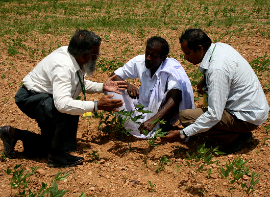
One of the success cases is the Central Indian landscape (Bundelkhand region, Uttar Pradesh), where ICRISAT followed this approach to rejuvenate a degraded landscape of approximately 75,000 hectares between 2018 and 2025. About 80-200 mm of additional rainfall/year is harvested in the form of groundwater, which helped to enhance cropping intensity from 120% (before) to 180% (after) within a short period (2-3 years) and converted about 40% of the seasonal fallow area into a double cropping system. About 10,000 defunct dug wells have been rejuvenated with improved groundwater recharge, which has helped to expand the irrigated area, reduced the cost of cultivation by 40%, and reduced energy consumption. With improved water availability, approximately 5-10% of permanent fallow lands were also brought into productive cultivation, helping to improve the socio-economic status of smallholder farmers.
Numerous public welfare programs across Asia and Africa are actively seeking scalable solutions to achieve land degradation neutrality. In India, the Land Resource Inventory (LRI) and the Hydrology-based approach have gained significant attention for scale-up. However, a comprehensive understanding of its potential and practical applications remains limited, and it is still mainly in the conceptual phase. ICRISAT can play a pivotal role by i) building the capacity of diverse stakeholders, ii) providing ongoing technical support (handholding), and iii) establishing benchmarking sites that serve as learning platforms.