Geospatial technologies to map Rice area, yield, and DSR suitable ecologies

Solution Overview

Submitter: (International Rice Research Institute - IRRI)

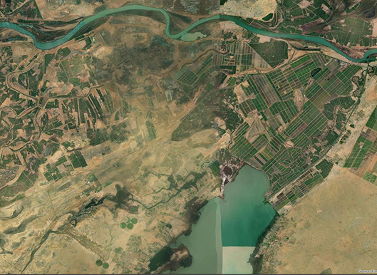
Geospatial technologies enable mapping of rice area, yield, and suitability for DSR by integrating satellite imagery, remote sensing, and GIS-based analysis for precise, data-driven decisions. Geospatial technologies are used to map and analyse the rice-growing areas, assess yield potential, and determine the suitability of DSR cultivation. The approach aims to optimize rice production, improve resource management, and support sustainable agricultural practices.
What We Do

Key Features & Benefits

  • High-resolution mapping of rice-growing areas using satellite data.
  • Yield estimation models developed through remote sensing and ground-truth data.
  • DSR suitability mapping based on soil, climate, and irrigation data.
  • Decision support systems for policymakers and farmers.
  • Enhanced resource use efficiency by identifying spatial entry points for intervention.
  • Data-driven prioritization of areas for scaling DSR and climate-smart agriculture.
  • Supports climate resilience by identifying ecologies prone to abiotic stresses.

Where It Works and Where It Can Work

  • Currently implemented in South Asia, Africa, and Southeast Asia.
  • Applicable across diverse agroecologies—irrigated, rainfed, and stress-prone regions.
  • Potential for expansion to any other rice-producing geographies due to earth observation capabilities

Evidence & Impact

  • Rice area and yield maps successfully developed and validated in multiple geographies.
  • Used to identify impact zones of abiotic stresses (e.g., drought, cyclone) and inform response strategies.
  • In Odisha, India, DSR suitability maps led to successful prioritization and trials of DSR technologies.
  • Data products shared with state and central government agencies to support strategic agricultural planning.
  • Contributed to improved targeting of interventions and increased adoption of sustainable rice practices.

Scalability & Adoption Support

  • Low-cost and adaptable, using freely available or low-cost satellite data.
  • Published in peer-reviewed journals, ensuring scientific credibility.
  • Successfully adopted by partners such as TNAU and state-level agencies.
  • Ready for scaling with support from donors, governments, and private sector partners.

Contact Information & Partners

Bihar Agriculture University, Jeevika, IFFCO Kisan Sanchar Limited, Click2cloud, JNKVV
Mr. Amit Srivastava, Scientist II – Geospatial Sustainable Impact through Rice-based Systems

Related Resources

ISSCA - Who We Are